
Aerial Mapping & Surveying

A drone survey refers to the use of a drone, or unmanned aerial vehicle (UAV), to capture aerial data with downward-facing sensors, such as RGB or multispectral cameras, and LIDAR payloads. During a drone survey with an RGB camera, the ground is photographed several times from different angles, and each image is tagged with coordinates.
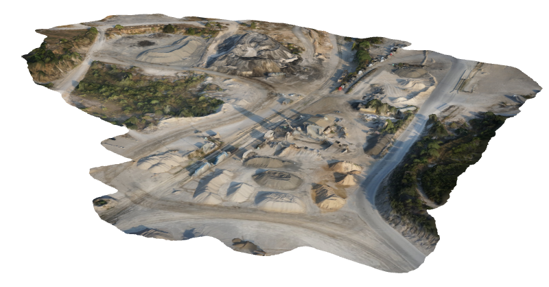
Photogrammetry combines images that contain the same point on the ground from multiple vantage points to yield detailed 2D and 3D maps.
AERIAL MAPPING & SURVEYING SERVICES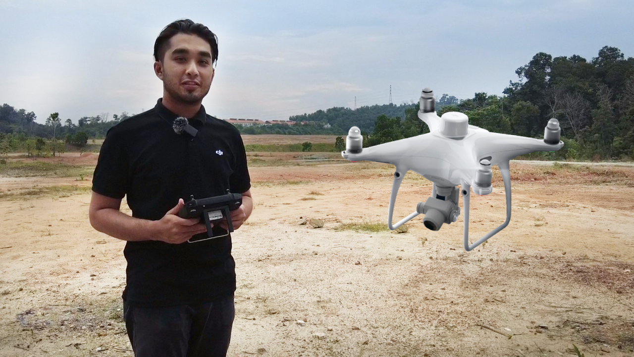
Complete Aerial Survey & Mapping
We provide an all-in-one mapping & survey solution for a variety of industrial purposes as we are well equipped with UAV and LiDAR technologies.
Gis Data Processing & Analysis
We organise and work with your data accurately to generate ready-to-use reports for decision making in operations and planning.
Contact us to learn more or to book a service!

DATA VISUALISATION & DELIVERABLES
 | Orthomosaic Generates a photorealistic representation of the area |
| Digital Surface Modelling Shows land surface including all objects present (e.g. plants) |
| Digital Terrain Modelling Shows land surface without any object (e.g. plant) |
| Digital Terrain Modelling - Contours line Lines are generated to indicate ground elevation or depression |


Contact us to learn more or to book a service!

From this data, a photogrammetry software can create geo-referenced orthomosaics, elevation models or 3D models of the project area. These maps can also be used to extract information such as highly-accurate distances or volumetric measurements.
Contact us to learn more or to book a service!