
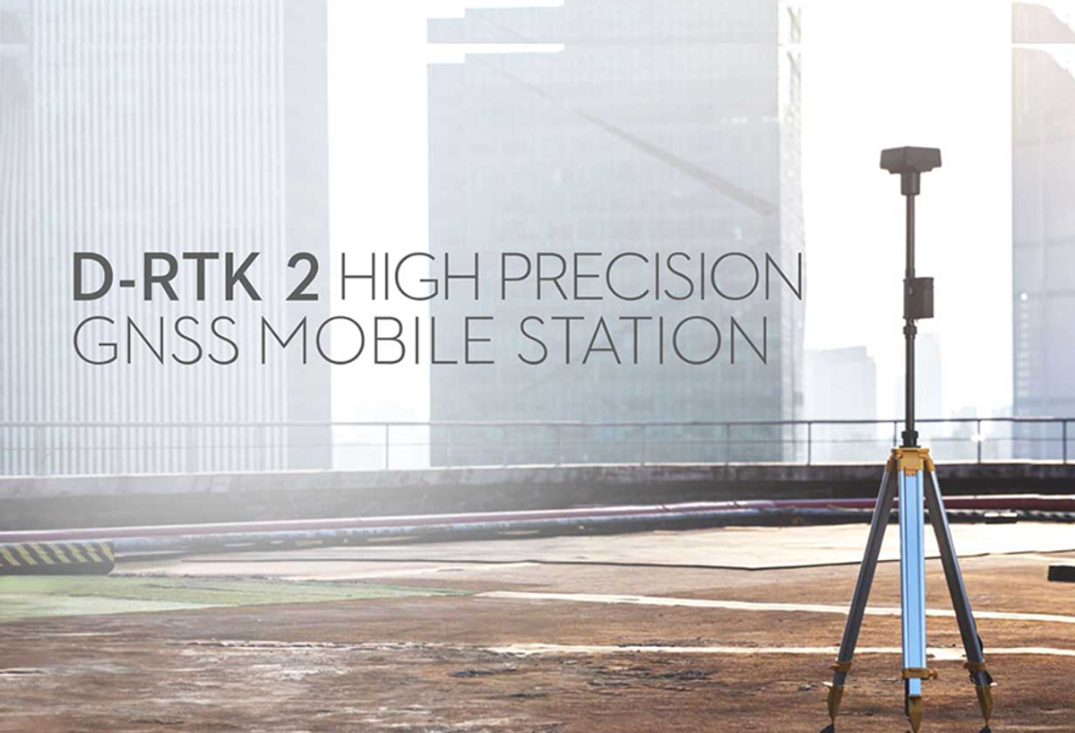
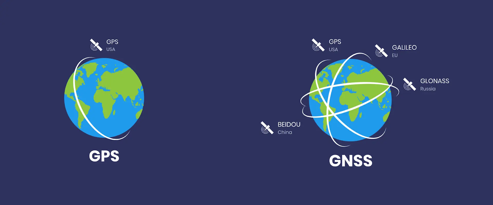
D-RTK 2 Mobile Station is DJI’s upgraded high-precision GNSS receiver that supports all major global satellite navigation systems, providing real-time differential corrections that generate centimeter-level positioning data for improved relative accuracy.

Having RTK in a drone is crucial for a surveyor, accuracy is an important factor to keep in mind when it comes to mapping. Only using the built-in RTK system in the enterprise drone will be good enough for many applications, but if you are looking for additional accuracy, D-RTK 2 will be the only reliable choice.
It will raise a question asking that “why is an additional RTK needed when you already have it in the drone?”. The answer is simple, the enterprise drone will connect to the satellite on its own in order to pinpoint the location. With the help of D-RTK 2, it provides reference for every point that the drone has captured.
 There are three main sections to determine whether the D-RTK 2 is good enough, according to Aerotas. The rating will be 0-5, 0 being the worst and 5 being the best.
Accuracy is one huge part and the main reason why surveyors will want to have it in the first place. The accuracy here refers to how accurate and precise the final data is at the end of all processing, regardless of the complexity of the process. Aerotas measure accuracy as the RMSE error of independent checkpoints at the end of a survey. D-RTK 2 gets an impressive 5 out of 5 for accuracy.
Next up will be reliability, we need to ensure the D-RTK 2 will work on every project, every time. If it is not able to perform well in every project, it will bring quite some trouble to the pilot. It will rank lower on reliability if it does not perform well in all projects. If software errors, network errors, or processing errors force a site to be re-flown or re-visited to gather additional data for any reason, it will also rank lower on reliability. But it is expected to have good results since it is from DJI, it gets a 5 out of 5 as well for reliability.
The final section will be how easy it is to operate. Does it require a lot of training & familiarity with software to use this workflow? Do you need a deep understanding of all of the software to get it right? How many steps are necessary to actually set up the equipment in the field and process it correctly? As for the ease of use, Aerotas rate it at 4 out of 5 which is still impressive considering it scored full marks for the previous 2 sections.
To conclude everything, the D-RTK 2 is a compulsory tool for those who seek for ultimate accuracy and precision in order to get their job done. It will be a great equipment to have for all surveyors.